Resort: Ukraine/Drahobrat
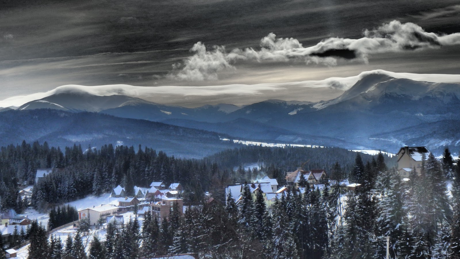
Target: Peak Kotel
Backcountry: 13km,
Off-road: 10km
Level: experienced
Route:
download
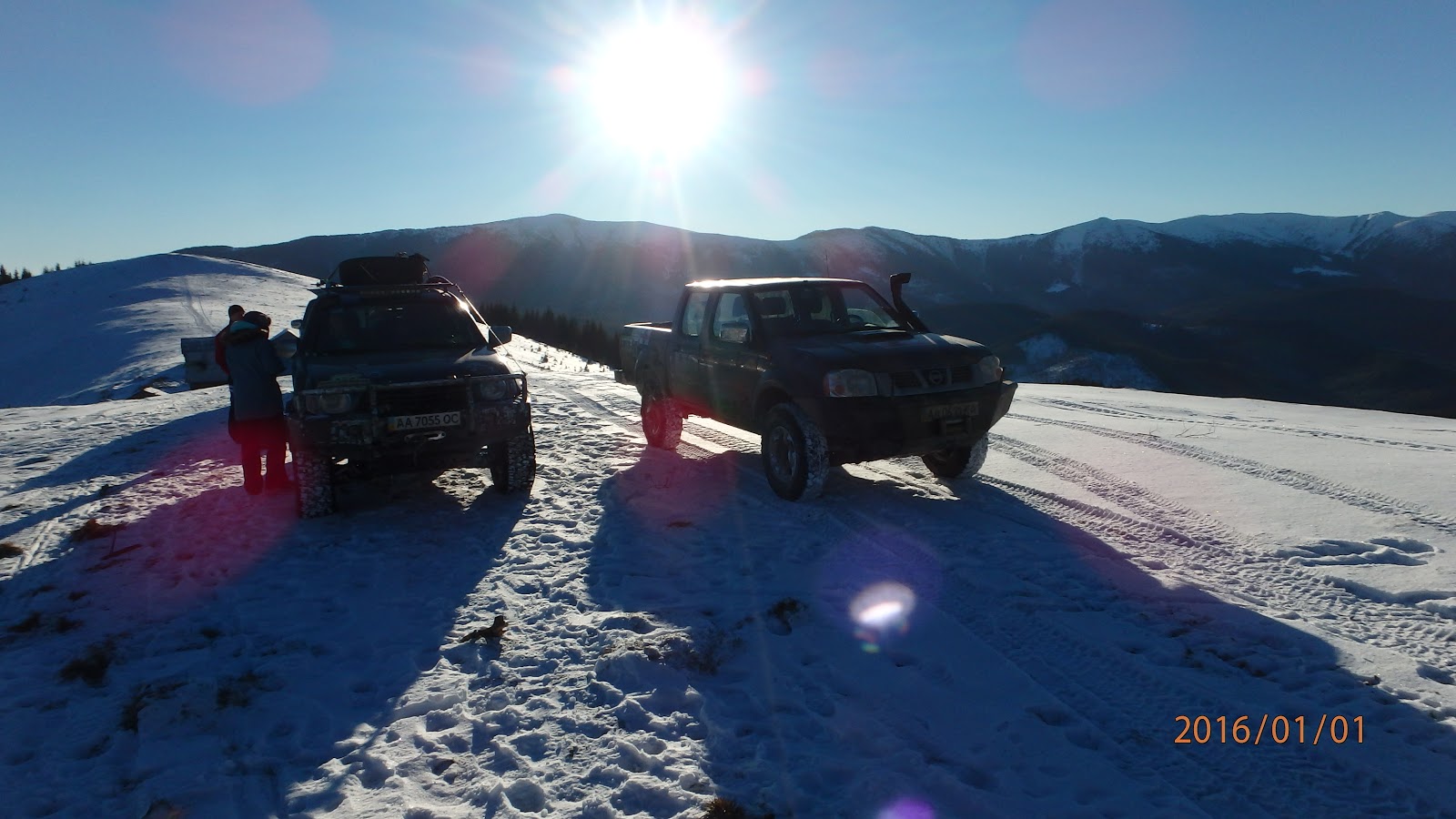
The main target is to storm peak Kotel, then make free-ride downhill to the point 17, where our friends pickup us with off-road vehicles: Nissan Patrol and Mitsubishi L200. According to the map road exists. Approximately agreed to meet each other at point 17 around 3PM.
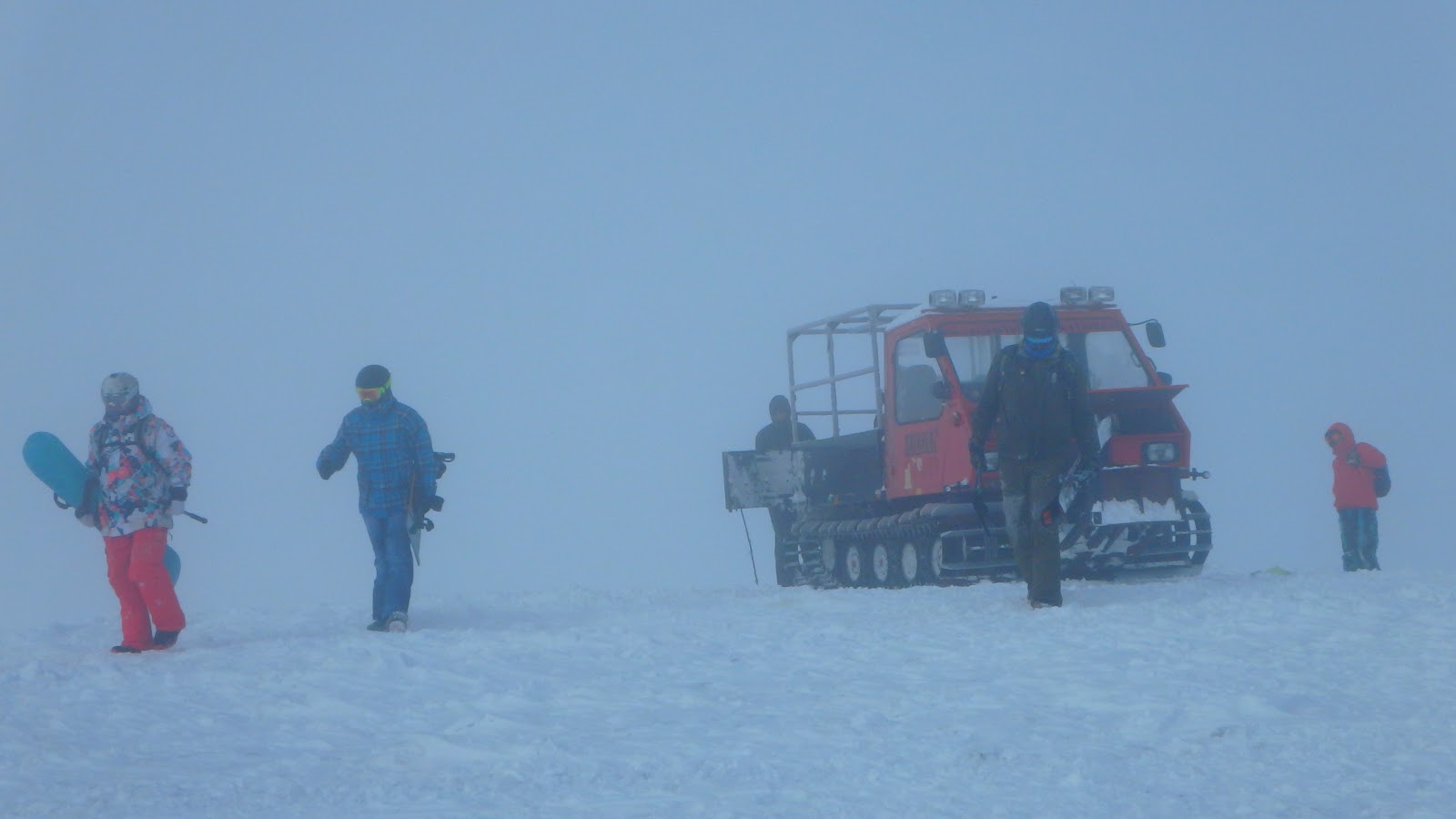
We started about 12:00 from the upper station of the peak Stig, close to 2PM we were at peak Kotel, passed ridge around points: 7 - 12 and from the point ~14 we started free-ride downhill, it was not powder, lack of snow, but enough to make downhill, finally we reached point 17, ~3PM.
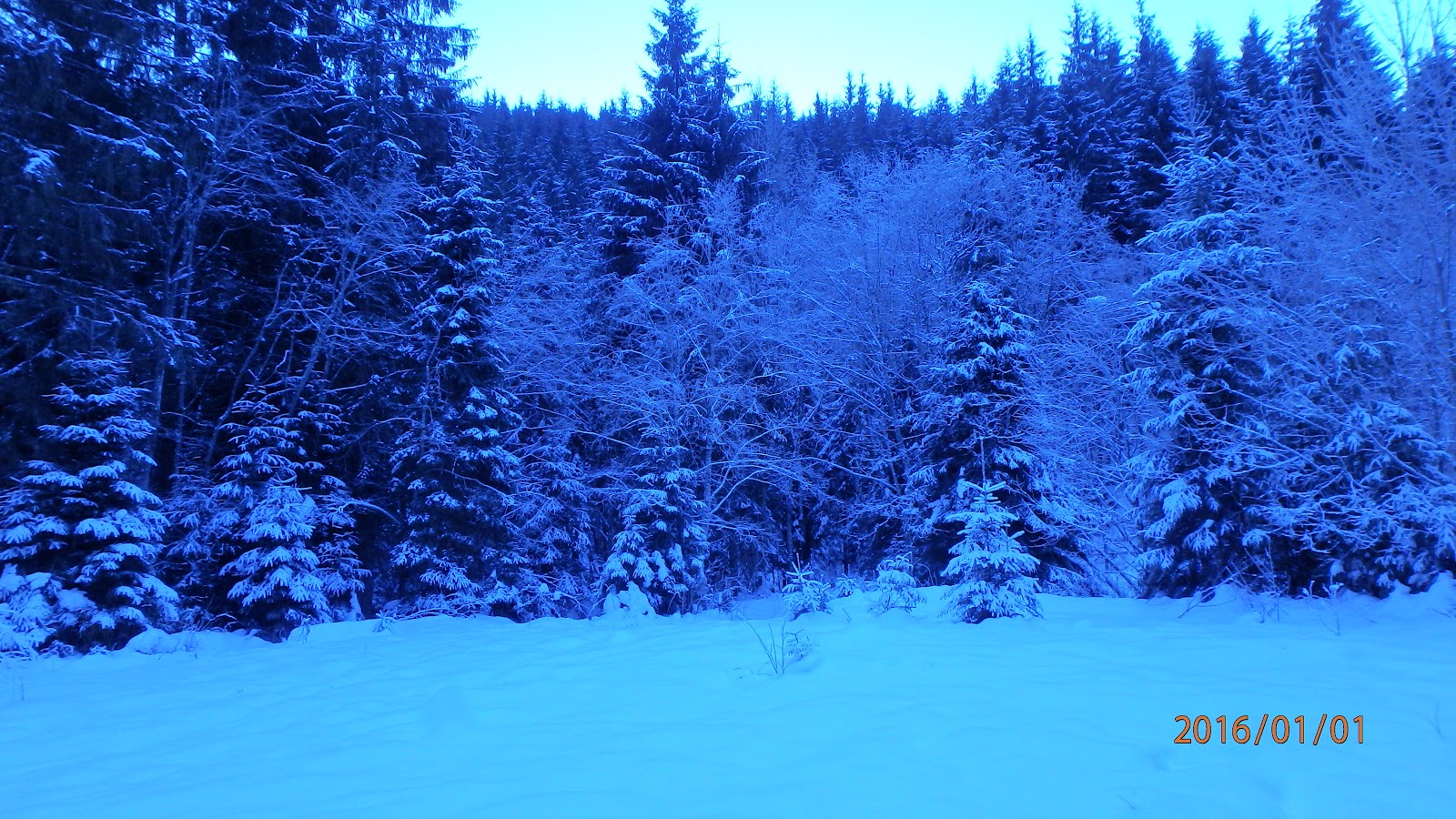
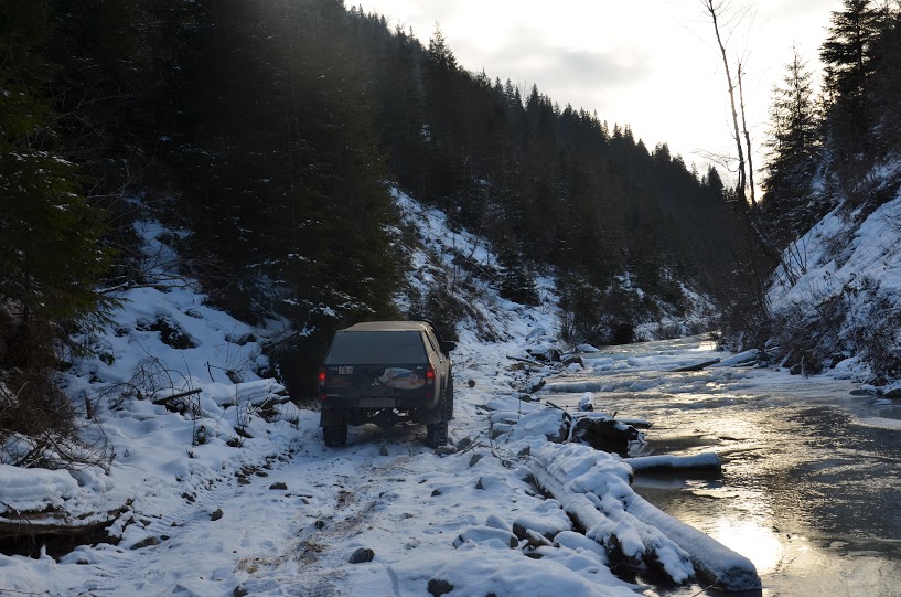
Off-road team started the route from point 25, and were moving to the point 17, where we were waiting for them. At point 22 they stucked, moving forward was not possible, as a road was totally destroyed with mud-flows. Over the radio they informed us, and we decided to go, final route was finished when it was getting dark.
Fallback case, if the off-road route, 25 ... 17 points is not possible, we will do back-country from point 17 to 5.
Photos:
Photo: Maksym Skrypak
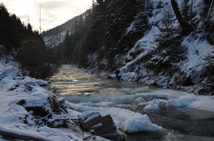
Photo: Maksym Skrypak
Photo: Maksym Skrypak
Photo: Maksym Skrypak
Photo: Maksym Skrypak
Photo: Maksym Skrypak